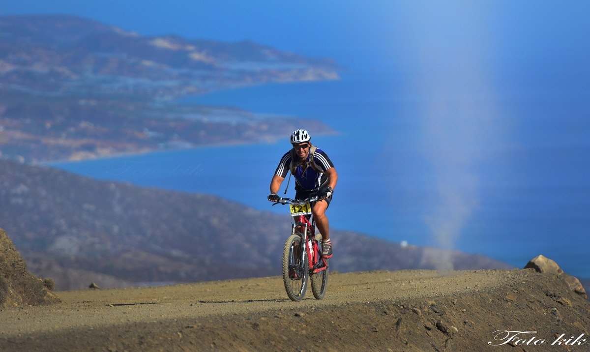
Distance: 33.6km
Entrance / exit coordinates: 35° 0.405'N / 25° 9.152'E (Pyrgos) 35° 0.736'N / 25° 7.194'E (Charakas)
Difficulty: Difficult
Amenities: Tavernas, cafes and accommodation at Pyrgos, where the Town Hall is also located
Set off from the village of Pyrgos. The first 7km are fast and straight through narrow paths and olive groves, the terrain mainly powdery with scattered grooves.
Half way along this stretch, while crossing the village of Charakas, the route crosses an asphalt patch and after a short uphill section it returns to harsh cement and narrow dirt tracks, until the village of Sternes.
This is the starting point of the route’s main uphill stretch; this is quite hard, as it is a 9km steadily uphill section of an average incline of 7.6% and a maximum incline of 12%.
The soil is powdery with some gravel, small stones and ruts at points. After reaching the top and crossing a small flat area that follows, an equally long and fast descent begins. It is long with intense slopes that start off at -12% and gradually level out 5 km passed Platanias, before arriving at Paranymfoi.
Similar to the uphill part, there are turns along the road that have been ruined by the rains. At the 27th km point starts the second and final uphill stretch, which is 2.75 km long and 4.5% steep and passes through the village of Prinia; this is followed by another very fast descent to the finish line at Pyrgos.
Download the kml file of the route in your device: (kml) Pyrgos - charakas circular tour
- 1 Pyrgos
- 2 Charakas
- 3 Agia Fotia (Holy Fire) - Doraki (Little gift)
- 4 Platanias
- 5 Paranymfi
- 6 Prinias
Pyrgos
Distance from Heraklion: 49.5km
Amenities: Town hall, KEP [Citizens’ Service Centres], KAPI [Centres for the Open Care of the Elderly], police station, fire station, regional clinic, banks, post office, traditional taverns and cafés, shops, municipal canteen, lodgings, farmers’ market.
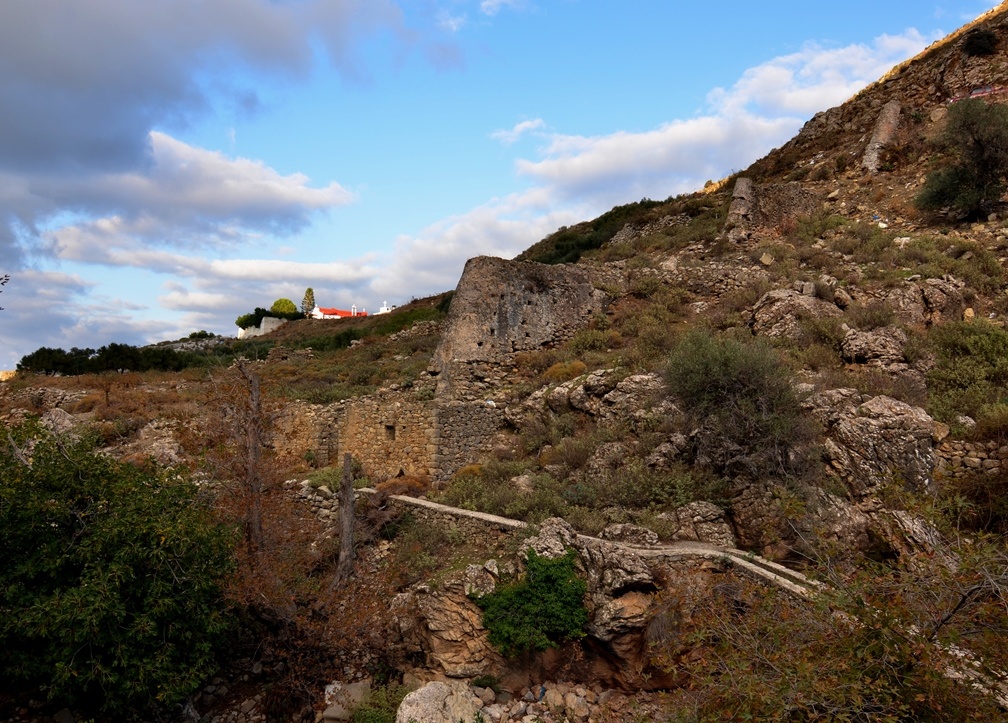
Pyrgos is the largest village at the foot of the Asterousia Mountain Range. It is the head village, where most citizen services for the residents of the southern part of the Municipality are to be found.
Its particularly favourable location played a definitive role in its growth and development into a central hamlet of the southern part of the Municipality, as well as of the broader region of Mesara. Built at the foot of the imposing Asterousia Mountain Range, in between and on top of hills that offered a good view of the entire valley, it secured its protection against intruders in times passed. The name itself (meaning Tower) indicates its fortifiable position, while, according to one account, it is connected to the Venetian Tower that was built at the peak of ‘Apano Pyrgou’, a rocky and barren hill to the east of the village.
Pyrgos is surrounded by 3 creeks with seasonal torrents that collect the rainwater on this side of the Asterousia, meeting the water supply needs of residents and the irrigation needs of their fields in Mesara, the most fertile valley on Crete, that spreads out at the feet of the village. The locals mainly work in farming, producing oil, table grapes and a cornucopia of vegetables.
Pyrgos is also a centre of cultural and other events for the villages of the southern part of the Prefecture of Heraklion, many of which are held at the man-made bocage to be found to the east of the village. Over the last few years the Pyrgos carnival has become an institution.
In Pyrgos there is also a children’s library, an interesting spot for children and young people to enjoy various activities.
What to see
- The hill of ‘Kakoplagos’: This is one of the hills on which Pyrgos is built and the point at which the old ill-preserved trail that used to connect Pyrgos to the village of Mournia starts.
- The hill of ‘Kefalas’: Another hill in Pyrgos at the peak of which stands the chapel of Agios Panteleimon (St. Pantaleimon). This is the starting point of the old and ill-preserved trail leading to the village of Prinia.
- The valley of Karava: Between the hills of Kakoplago and Kefalas there is a small valley, the valley of Karava, also known as Kavousi, with spring waters; it is rich in vegetation, mainly plane and walnut trees. The waters of Agios Mamas (St. Mammes) spring were channelled through pipelines and to run the flourmills that used to stand on the western side of Kakoplago. From there, the waters travelled along an arched hanging pipeline to the torrent on the opposite side and, continuing through another pipeline in the form of a chain, moved other flourmills. Rumour has it that there used to be 18 such flourmills. As they are horizontal mills, they are classified as Byzantine flourmills; while their architecture indicates that some were built during the Venetian rule, and others during the Ottoman rule, they always used the same construction style and architecture.
- ‘Ta Archontika’ (The Mansions) Hill with its off-white granite rock is where the local Venetian lord had his residence and where the area got its name from. Alongside and to the north of this mansion there was a spring that had been crafted into an intricate fountain for the water supply of the lord, which survived under the name ‘Archontissa’ (Lady). Few ruins of the residence and the fountain have survived, echoing the grandeur and aura of that age.
- Churches: The chapel of Agia Eirini (St. Irene) / the two-aisled chapel of Agios Georgios (St. George) and Agios Constantinos (St. Constantine) are decorated with noteworthy murals, while the dedicatory inscription displays the date 1314-1315. The church of Metamorphosis tou Sotiros (Transfiguration of the Saviour) and patron saint of the village (where, according to tradition, there used to be a convent)/ the chapel of Agios Raphail (St. Raphael) / the chapel of Agia Paraskevi (St. Paraskevi) and Profitis Ilias (Prophet Elijah).
- The Pyrgos Festival is held on 5-6 August.
Charakas
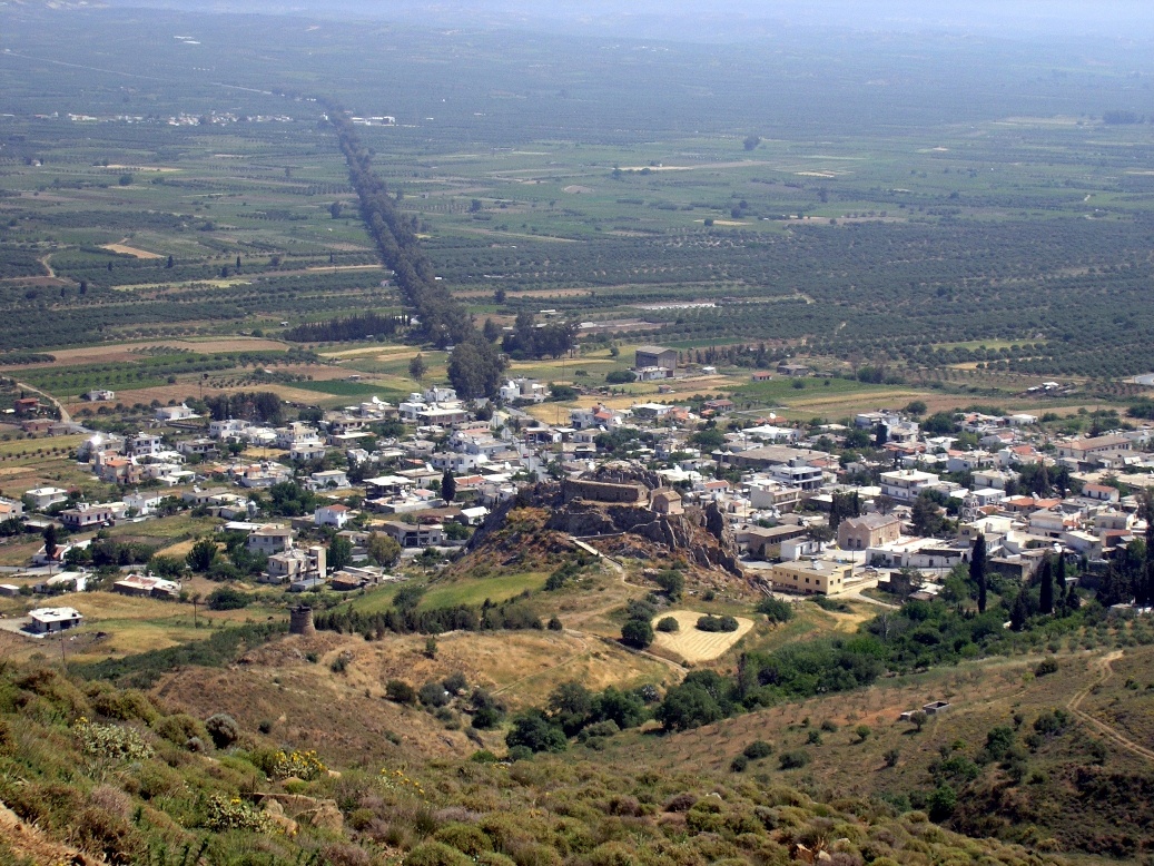
Charakas is one of the three main villages at the root of the Asterousia, on their north side. Its Venetian name was San Giovanni (St. John), but it changed to Charakas, because in the west of the village there is an imposing rock, 35m high and 60m wide. On Crete and other islands, the word ‘Charaki’ means rock. This is a monolithic mass, accessible only from the southwest, through the cobblestone lane that leads to the quaint Byzantine church of Afentis Christos (Lord Christ).
The west side of the rock is sharp and steep. Its fortified position, affording a panoramic view and surveillance of the entire plain of Mesara, led the Venetians to build a castle here. Today only some of its relics survive.
The village has an active Cultural Association that organises various celebratory events throughout the year to mark religious feasts (Christmas, Easter) and other occasions, such as the feast of St. Panteleimon (27 July), the anniversary of the Battle of Crete (20 May), etc. Especially on the occasion of the last event, Charakas becomes the central point of the feast, due to the anniversary of its bombardment by the Nazis. They say, however, that this attack was a mistake made by the enemy, as they were targeting the village of Charaki, but ...mixed it up with Charakas.
In recent years, in cooperation with the Municipal Centre for the Open Care of the Elderly (KAPI), the operation of the old looms has been revived; older housewives teach young girls how to weave. Ask at the local KAPI, in the village square, under the Charaki, to be shown the looms and their wonderful woven items.
Also seek out the Women’s cooperative with their dozens of sweet and savoury products.
The churches of the village are: Agiou Panteleimon (St. Panteleimon), the patron saint with the largest church and a four-storey bell tower, the church of Koimisi tis Theotokou (the Dormition of the Virgin Mary) (in the old village), Agiou Nektariou (St. Nectarius) (in the lower district), Agiou Ioanni (St. John) (in the cemetery), Agias Paraskevis (St. Paraskevi) (on the edge of the village), the church of the Holy Spirit (Agiou Pnevmatos) (on the Asterousia heading to Paranymfoi), Agiou Georgiou (St. George) and Agiou Nikolaou or Agiou Nikita (St. Nicholas or St. Nikitas) (on the plain) and Afentis Christos (Lord Christ) (on Charaki rock).
Also worth seeing are the windmill and the water fountains.
Agia Fotia (Holy Fire) - Doraki (Little gift)
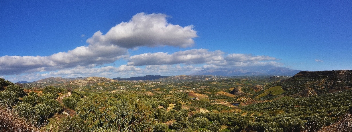
Both hamlets belong to the district of Charakas and lay about 1.5km west of it. They are old hamlets referred to in Venetian censuses. It is worth visiting the Byzantine church of Archangelou Michail (Archangel Michael) and Panagias (Virgin Mary) at Doraki, as well as the church of Agia Fotini of Samareia and the fountain at Agia Fotia.
Platanias
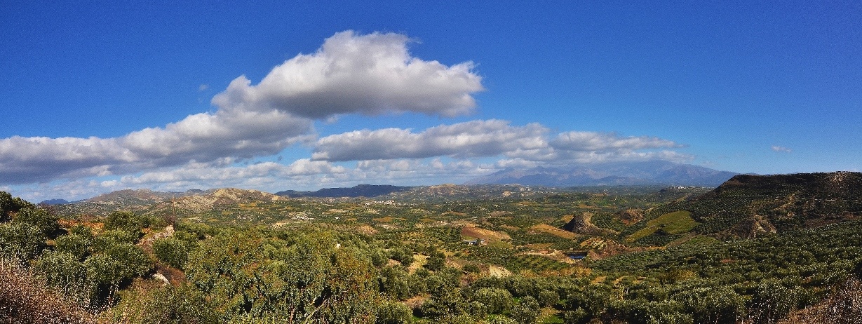
Platanias is the westernmost settlement in the Archanes-Asterousia Municipality (right on the boundary with the Gortyna Municipality). It is a small, picturesque, almost uninhabited village with many abandoned homes where, despite their disrepair, you can witness the typical architecture of Heraklion’s mountain houses.
Downhill from the village you can find a great picnic spot, next to a stream watering great walnut, almond and fig trees. This location, called ‘karies’ [walnut trees], is ideal for connecting with this beautiful landscape, while birds of prey circle above you as they follow the thermal currents. Notice that this stream, like dozens of others, heads toward the cliffs near Abas, sculpting distinctive crevices in the ground, which in time develop into gorges.
In spring, you’ll find yourself traversing a green carpet of vegetation. In autumn, you’ll be able to taste tender walnuts from the elderly yet still productive walnut trees – please be careful of the aggressive rooster, belonging to hospitable Mrs. Maria, who, along with her husband, are the last remaining residents of this beautiful village.
Paranymfi
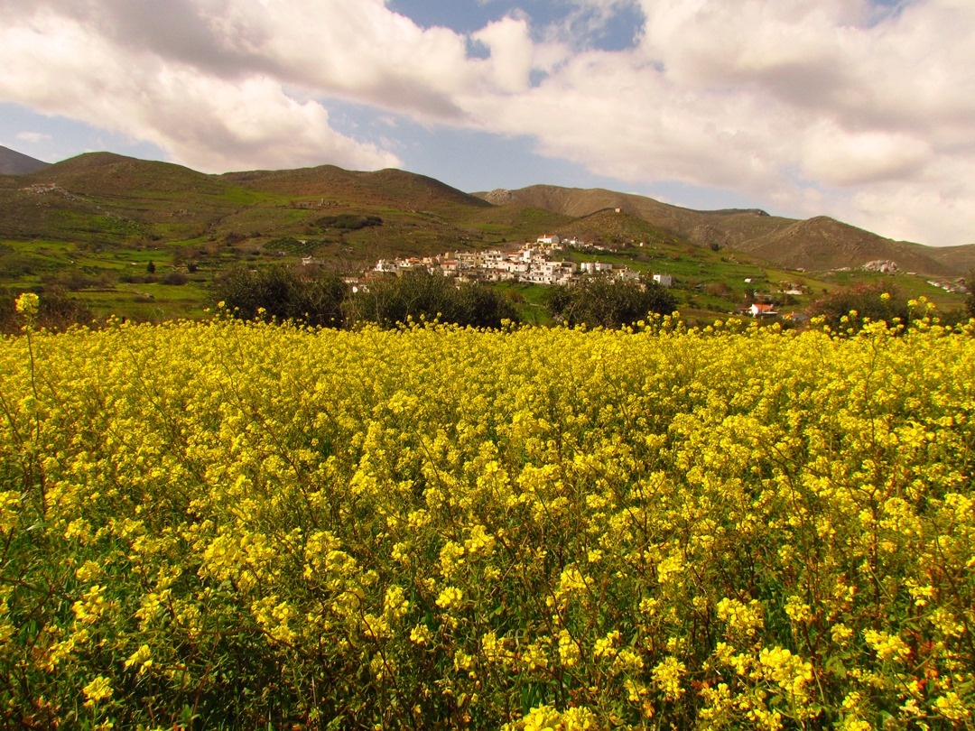
This small village with its few residents and the three hospitable coffee houses is a landmark point for many routes and activities in the east zone of the Asterousia. Near here is the famous Abas location. It is a wonderful vantage point looking out onto the southern coastline offering a truly breathtaking view. Heading from Paranymfoi to Mournia, after about 800 meters, you come across a small sign pointing to Abas. Follow the narrow lane and park your car where the road ends. The old watermill is a characteristic feature: it ran on the water from the stream flowing into the gorge right below you. Throughout the year, but not in the summer, you can see this active stream. Any daredevils among you should not follow this route, because you will soon find yourselves needing ropes and equipment to continue you descent by canyoning. Follow the path going in the opposite direction and reaching the ‘horseshoe’ shaped Abas cliff, where you can discern the hamlet of Treis Ekklisies (Three Churches) in the distance. It is on these cliffs where the bearded vulture and the griffon vulture nest and you are bound to come across them during your tour. Avoid wearing bright colours, because they frighten the large, yet sensitive, birds of prey. If you are interested in bird watching, you can be supplied with all necessary visual equipment from the Information Centre of nearby Ethia (following prior arrangement with the competent Town Hall personnel).
From Paranymfoi you can also head to Kofinas, along an old footpath that is not easily discernible; however, if you feel like exploring, get ready to discover the rich biodiversity of this land with the wide range of ecosystems. Another landmark is the small gorge connecting Paranymfoi with the next village of Platania. Ask the way at the village.
If on the other hand you are interested in finding out why the Asterousia range is called ‘the Holy Mountain of Crete’, follow the dirt road leading away from Paranymfoi to the southwest that takes you to the church (old monastery) of Agiou Pavlou (St. Paul). A well-maintained and clearly signposted trail starts there and takes you above the only carob tree forest on Crete; the path forks out at that point (there are signs) and you have to choose whether you will go to Treis Ekklisies or to Koudoumas Monastery. Either choice will offer you unforgettable moments.
Prinias
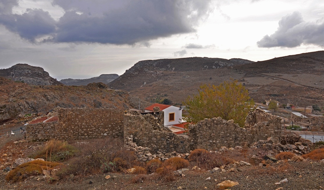
If you are traveling on a 4x4 vehicle or on a mountain bike, have enough experience and stamina and you are interested in enjoying one of the most exciting mountain routes in the Asterousia, head from Pyrgos towards the small village of Prinias which pops up in the midst of these barren mountains. Continue from there through the rough twists and turns of the road towards Treis Ekklisies. If you are traveling on a bicycle please avoid riding downhill when the wind is strong.


