


Distance: 12.9km
Entrance / exit coordinates: 34° 59.422'N / 25° 13.509'E (Achentrias)
Difficulty: Moderate
Amenities: Cafés at Achentrias
This route starts inside Achentrias. After 350m on the village asphalt, the route moves to a wide, well-trodden dirt road with gravel, which is mainly flat for the next 2.5 km.
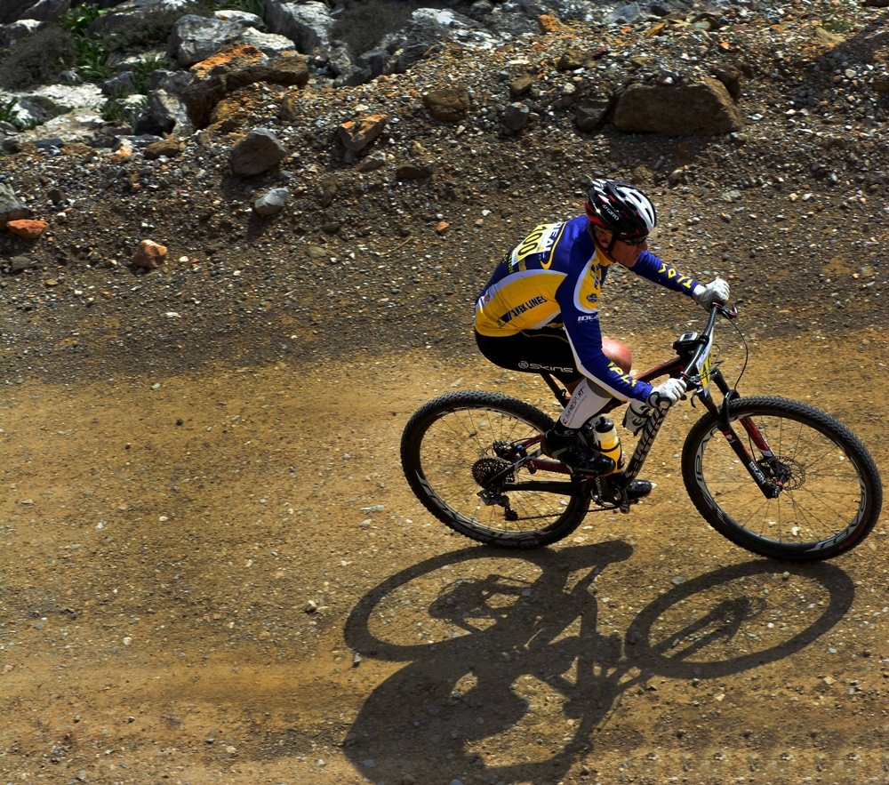
There, against the backdrop of the imposing Asterousia Mountain Range and the enchanting Tsoutsouras and Maridaki beaches, starts the first half of the circular stretch, approximately 3.5km downhill, with quick turns and increasingly technically demanding patches, as the incline gradually becomes steeper and the route enters narrower downhill paths with large rocks and eroded terrain.
Then comes the second half of the tour with a demanding 6km uphill stretch at an average incline of 5.1% and a maximum of 9%. The last 2.5 km are slightly uphill until you arrive back in Achentrias.
Download the kml file of the route in your device: (kml) Achentrias circular tour
Achentrias
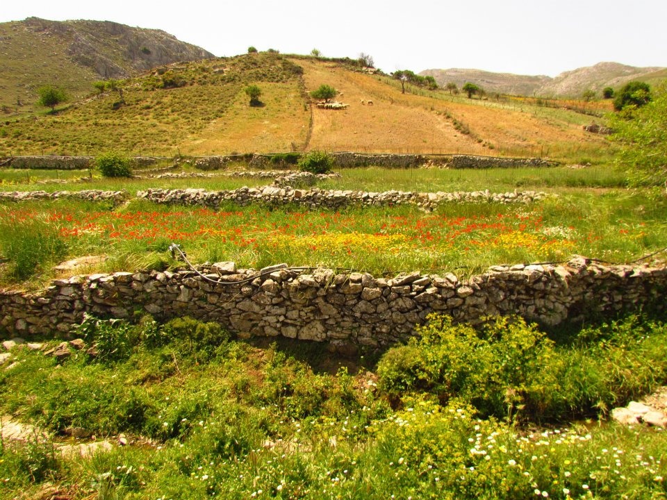
Achentrias or Ochentrias (the village with the many Ochentres, a non-venomous viper species found on Crete) is one of the most typical examples of a lively animal raising village in the Asterousia. It is located on a small, cultivated plateau to the west of Asfentylia and to the north of the cliffs and gorges that lead to the southern coastline. The aesthetic value of the plateau of Achentrias is matched by its ecological importance in preserving the biodiversity of the Protected Area of the Asterousia.
Most of the villagers are animal farmers and, to a lesser extent, work the land. The main products come from goats and sheep (meat, milk and various cheeses) and the excellent flavour and quality of the cheese produced here, at the uniquely built mitata (plural of mitato, stone huts on mountain peaks) of the area, is well known.
The village is downhill from Mount Asfentylias, an ideal juncture for the entire south of Crete, as there are but few obstacles. This is why a television broadcasting antenna was installed in 1970 on its 970.43m peak, which unquestionably affects the otherwise spectacular view towards the entire Mesara Valley, the Sea of Crete and the island of Dia. On this mountain, an ongoing survey by the Natural History Museum of Crete is after a very rare animal fossil, argued to have lived here, but has not been matched to any known animals until now.
Some of the most beautiful hiking trails of this mountainous zone start at Achentrias. Signs with maps and descriptions that will help you approach them safely are located at the starting points of the trails. The most beautiful trail is the one that has always connected Achentrias with the Holy Monastery of St. Nikitas, with the renowned palm forest and water spring, Kefalovrysi. Animal farmers continue to wash their sheep in the sea on St. Nikitas beach to this day, usually in late spring, in order to clean them.
Two more wonderful trails connect Achentrias with the seaside hamlet of Maridaki, through two gorges. One is Ligiofarango and the other Lichnistis.
Churches, celebrations
The village churches are those of Agios Dimitrios (St. Demetrius), Kimisis tis Theotokou (Dormition of Mary), Agios Charalambos (St. Charalambos) and Agios Ioannis Theologos (St. John the Theologian). On August 6 Achentrias celebrates the Transfiguration of Christ with a festival.