


Mesara (from ‘mesi’, meaning the middle of something, as it is located in the middle of the island)
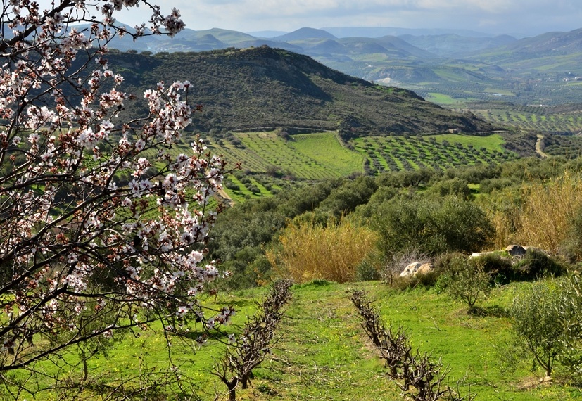
The Plain of Mesara stretches east to west in the south part of the Prefecture of Heraklion; it is 50km long and hardly 7km wide. To the south, the plain is protected by the wild Asterousia Mountain Range, while along the west there is an extensive coastline with sandy beaches. Its north border is Mt. Psiloritis. The Geropotamos River (Old River) crosses the plain and flows into the Gulf of Mesara. Two of its tributaries are the Koutsoulitis and the Mageras.
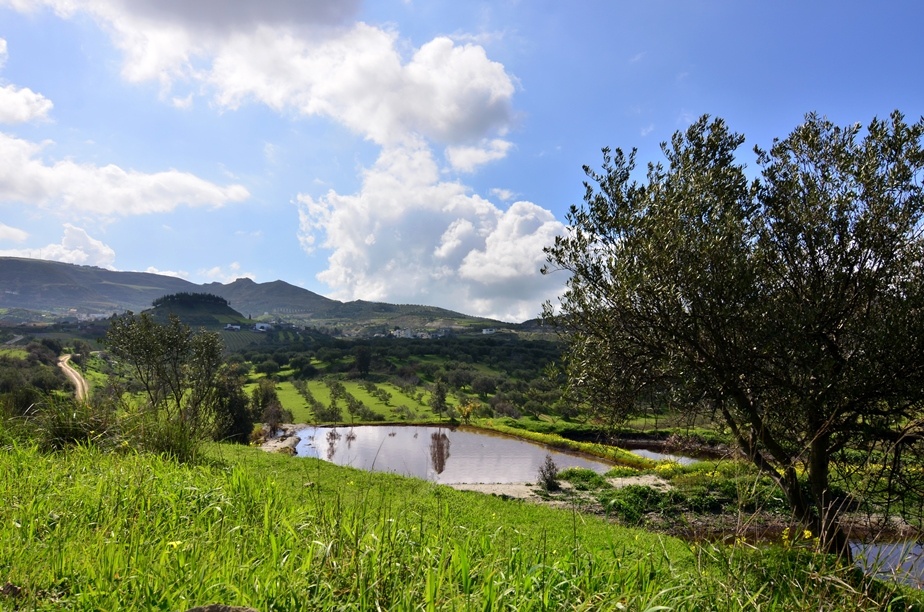
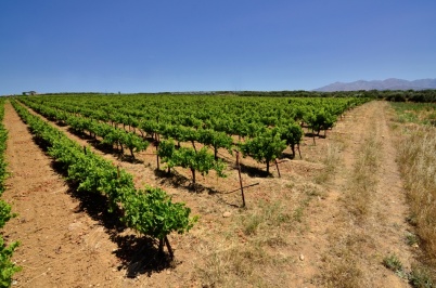
Mesara is truly fertile and has always been the breadbasket of Crete. The warm climate combined with the fertile land favour early vegetable production as well as the cultivation of olive and citrus trees. However, in recent years, the major problem of the entire area has been water scarcity, as there has been very little rain. This is why the major dam of Faneromeni has been constructed, which has also become a significant wetland.

